
About us
We serve government agencies, mining companies, engineering firms, developers, investors, and infrastructure organizations seeking dependable geoscientific insights and technical support.
Learn more
about us
01.
Our Vision
To be the leading and most trusted geoscience company advancing sustainable mineral exploration and near-surface geophysical solutions across Africa.
02.
Our Mission
To deliver innovative, reliable, and sustainable geoscientific solutions across West Africa by combining advanced mineral exploration, near-surface geophysics, and earth-data analytics to drive responsible resource development.

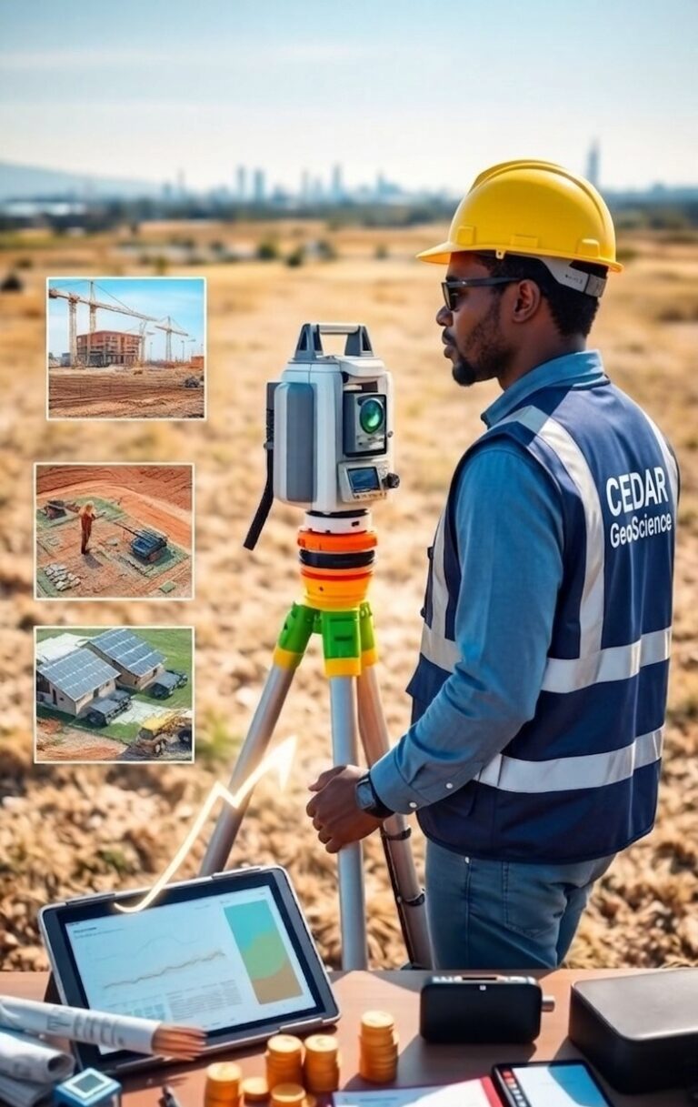
We provide quality services to mineral exploration and mining companies, engineering and environmental companies as well as independent resource appraisals, technical reviews, due diligence studies and assessment to financial institutions.
As a team, we are experienced in all aspects of mineral exploration and technical support ranging from geological field mapping, exploration design and management, supervision of drilling programs, execution of geochemical, geophysical and remote sensing studies, feasibility study preparation through detailed mine planning services. Our resource modelling team members are competent in leading industry software packages including Geovia Surpac, Minex, Global Mapper, Map Info, Oasis Montaj, ioGAS, AutoCAD, QGIS and Google Earth etc.
We are equally exceptionally competent in subsurface geophysical imaging to delineate buried utility, underground cavities, subsoil mapping for civil engineering developments, groundwater potential investigation, contaminant mapping, corrosivity and resistivity testing for electrical equipment earthing etc. We utilize industry standard softwares such as Res2DInv, Diprofwin, IPI2Win, ReflexW and Machine Learning Algorithms for data inversion.
At CGL, we use our experience and versatility in the exploration of industrial, energy and base metals to generate comprehensive resource models that reflect ground condition and reality. We equally undertake all necessary model reviews and audits according to recognized international standards.